
| Mexico UTV Adventure Ride
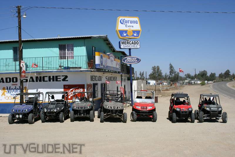
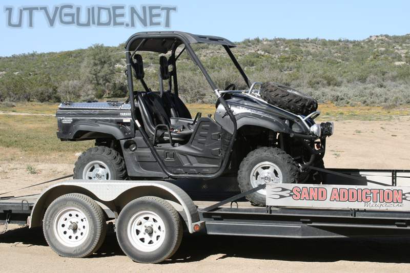
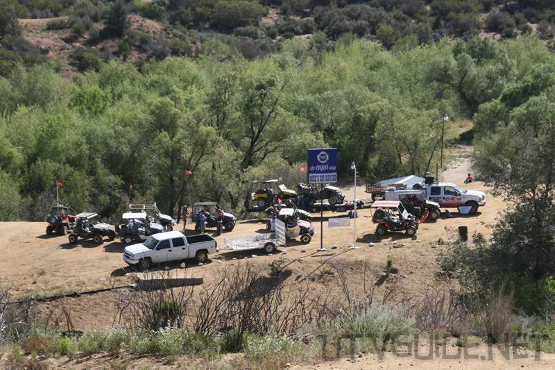
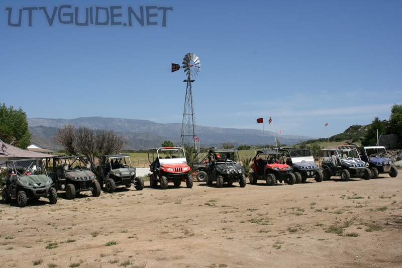
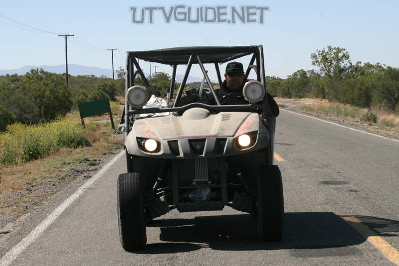
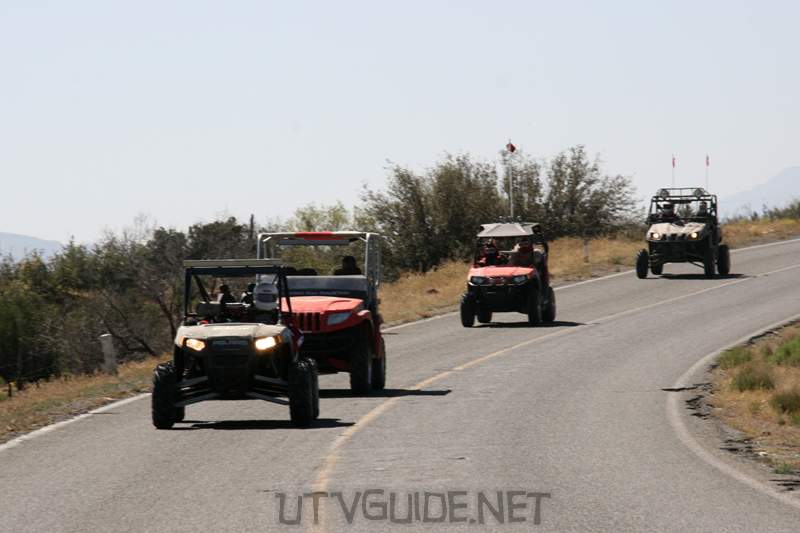
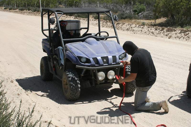
Tecate to Mike’s Sky RanchWe met up in the states at the Chevron station in Casa de Oro before heading south to the border at Tecate. We had nine Yamaha Rhinos, two Polaris RZRs and one Arctic Cat Prowler. I joined up with Cody from Side x Side Action Magazine for the trip. Our ride for the trip was a 2008 Yamaha Rhino 700 EFI
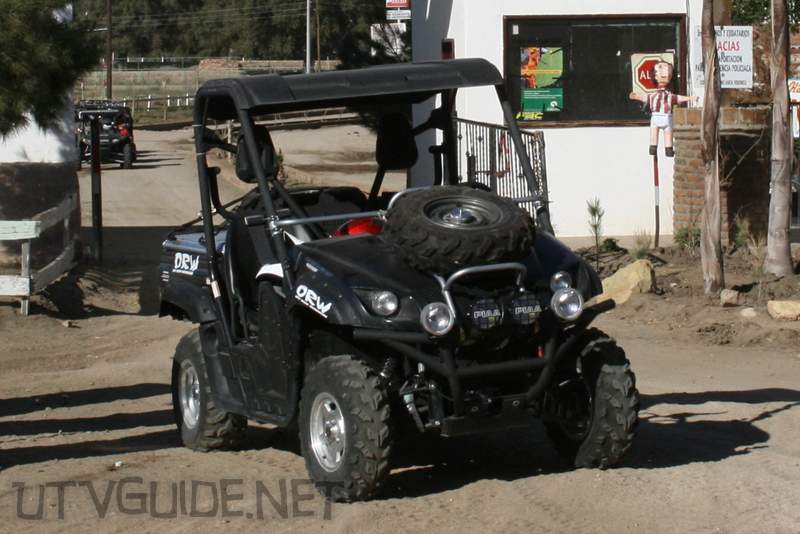
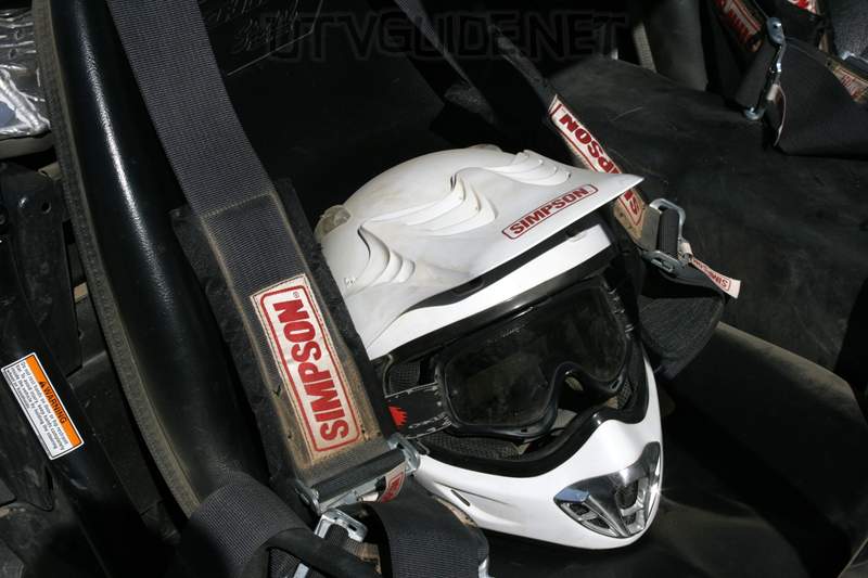
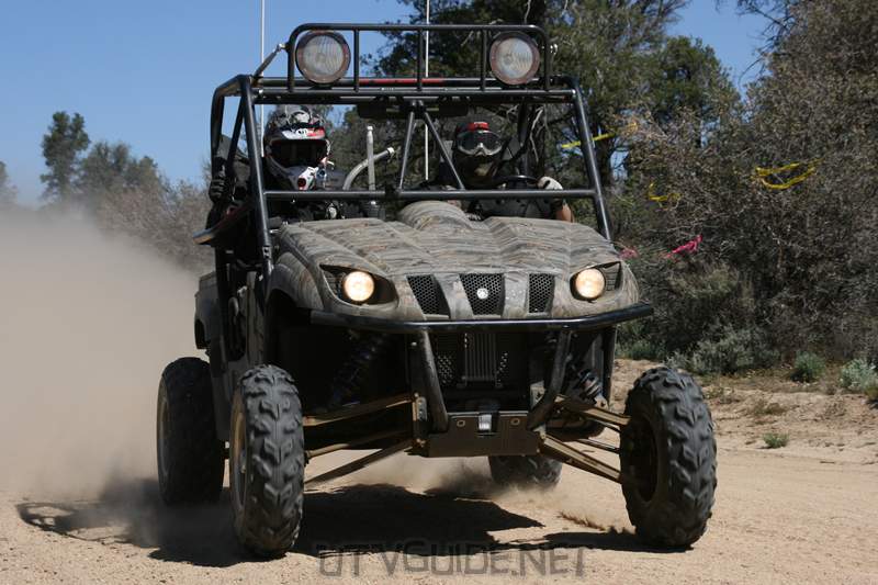
The Rhino we used was completely stock except for Simpson 5 Point Harnesses, Black Rhino Harness Bar, Hood spare tire carrier, PIAA Lights and a Bed cover.
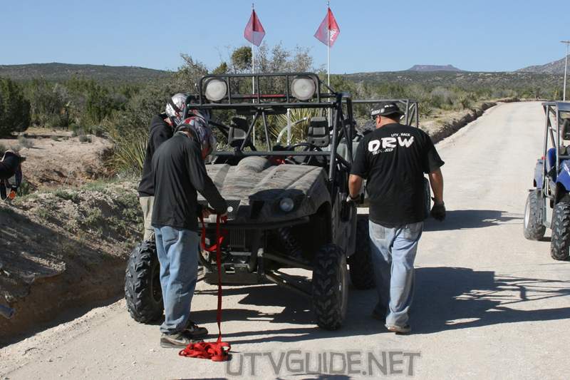
The Rhino did very well for us. We did not experience any breakdowns. The only issue we had was the speed limiter at 41 mph was very slow. A lot of the trip was on graded or paved roads, and it was painful to drive at that slow of speed. Day One: Hacienda Santa Veronica
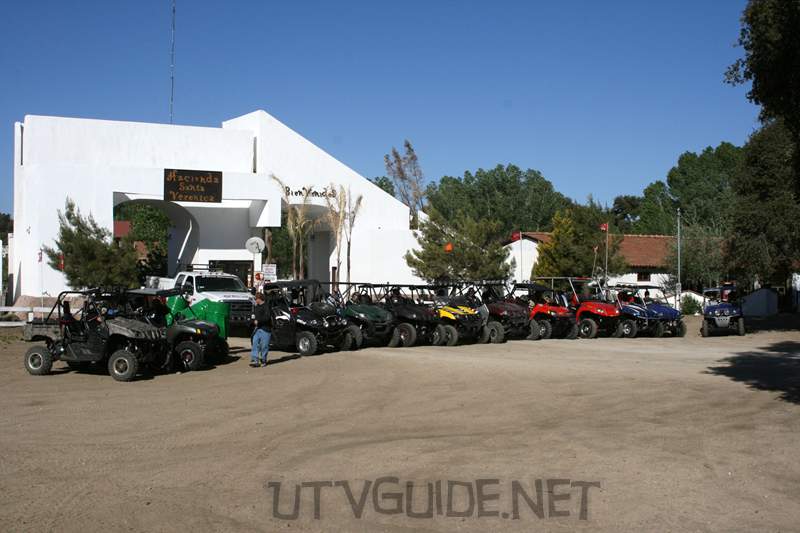
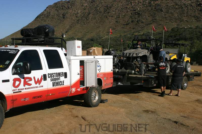
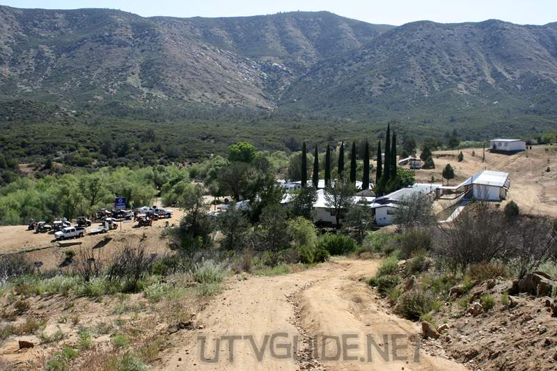
We spent the first night at Hacienda Santa Veronica. Off-Road Warehouse treated us to a great dinner on Thursday night. The resort is located 20 miles east of Tecate, Mexico. Hacienda Santa Veronica Resort is hidden among oak trees in a quiet valley near the town of El Hongo. The former bull ranch offers excellent access to hundreds of miles off-road roads and trails.
GPS Coordinates forHacienda Santa Veronica: 32°27’31.37″N, 116°21’40.91″W (Google Maps for Hacienda Santa Veronica) Day Two: Hacienda Santa Veronica to Mike’s Sky Ranch
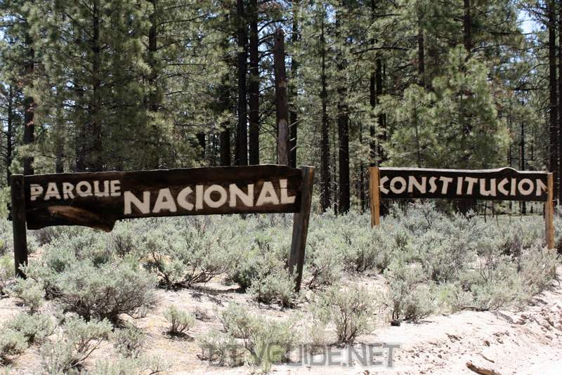
Turnoff heading to Parque Nacional Constitución de 1857: 32°14’43.69″N, 115°57’13.98″W (right turn) Parque Nacional Constitución de 1857
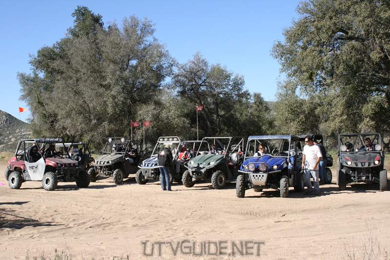
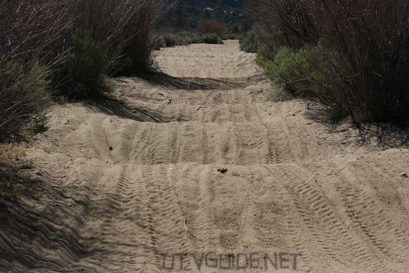
After leavingHacienda Santa Veronica on Friday morning, we hit lots of great trails, then climbed up into the pine forest and crossed into Constitution National Park. Constitution National Park is in the Sierra de Juárez mountain range, approximately 45 miles east of Ensenada. Laguna Hanson is one of interior Baja Californias few semi-permanent bodies of water.
GPS Coordinates for Laguna Hanson: 32° 2’53.89″N, 115°54’39.25″W (Google Maps for Laguna Hanson)
We stopped for a bit of fuel at Rancho Ramona just south of Laguna Hanson GPS Coordinates for Rancho Ramona (gas stop): 32° 0’16.21″N, 115°56’52.60″W (Google Maps for Rancho Ramona)
Heroes de la IndependenciaGPS Coordinates for Independencia and Highway 3: 31°36’42.72″N, 115°53’23.19″W (Google Maps for Independencia)
Valle de la Trinidad
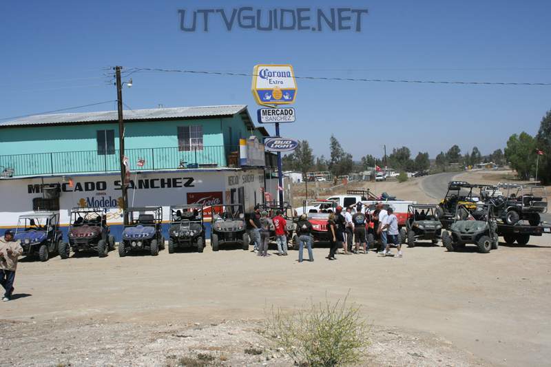
After a bit of a run on Highway 3, everyone fueled up at the Pemex in Valle de la Trinidad. After fuel we stopped at the restaurant next door for some tacos before heading out to Mike’s Sky Ranch. GPS Coordinates for Valle de la Trinidad: 31°24’29.66″N, 115°44’3.60″W (Google Maps for Valle de la Trinidad) Mike’s Sky Ranch
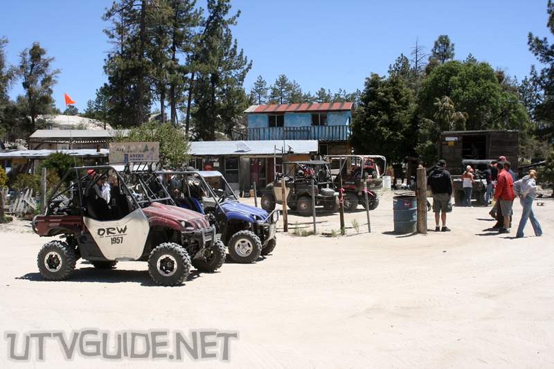
We spent two nights at Mike’s Sky Ranch. This secluded backcountry lodge in the middle of nowhere is a haven for off-roaders. Mike’s Sky Ranch rests on a hillside overlooking the Arroyo San Rafael, which is a somewhat wooded river valley with steep, brush-covered mountains. The ranch offers motel-type accommodations for about $60 which includes family-style dinner and breakfast. The nearest town is Valle de Trinidad. Sections of the Baja 500 and Baja 1000 courses pass through Rancho Mike’s Sky.
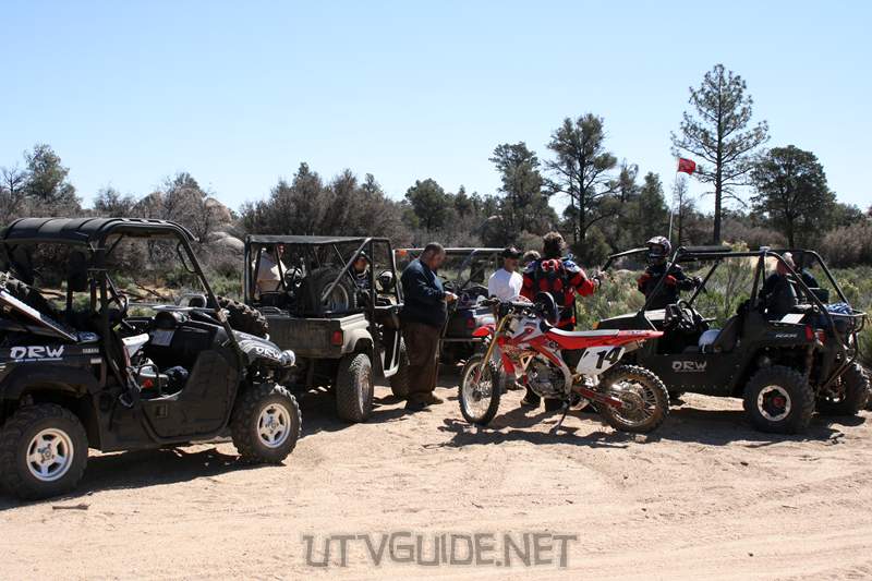
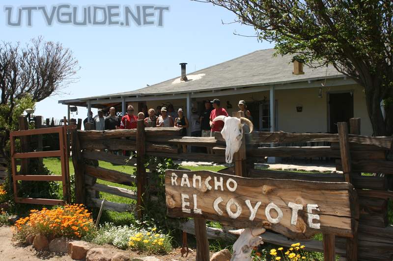
GPS Coordinates Highway 3 and the turnoff to Mike’s Sky Ranch: 31°20’11.59″N, 115°34’27.97″W GPS Coordinates for Mike’s Sky Ranch: 31° 6’33.58″N, 115°38’7.75″W (Google Maps for Mike’s Sky Ranch) Day Three: Mike’s Sky Ranch to Rancho El Coyote and backOn Saturday, we did a day trip to El Coyote from Mike’s Sky Ranch. We experience all sorts of terrain – water crossings, rock crawling and fast desert roads then ended up at Ranco El Coyote for an excellent lunch.Rancho The Coyote Meling Ranch is a as a cattle farm that was founded by Salvador Johnson in 1950. The ranch is located on a plateau in the Western foothills of the Sierra San Pedro Martir Mountain Range between San Telmo and The Sierra San Pedro Martir State Park at an elevation of approximate 2500 ft. Sections of the Baja 500 and l000 courses pass through Rancho EL Coyote.Rancho El Coyote is setup similar to Mike’s Sky Ranch in that they cater to off-roaders with rooms and camping with family style meals.
GPS Coordinates for Rancho El Coyote: 31° 2’24.70″N, 115°45’49.89″W (Google Maps for Rancho El Coyote) Day Four: Mike’s Sky Ranch to Hacienda Santa VeronicaMike’s Sky Ranch: 31° 6’33.58″N, 115°38’7.75″W (Google Maps for Mike’s Sky Ranch) Highway 3 and the turnoff to Mike’s Sky Ranch: 31°20’11.59″N, 115°34’27.97″W
Valle de la Trinidad: 31°24’29.66″N, 115°44’3.60″W (Google Maps for Valle de la Trinidad)
Independencia and Highway 3: 31°36’42.72″N, 115°53’23.19″W (Google Maps for Independencia)Turnoff heading to Laguna Hanson off of Highway 3: 31°51’49.40″N, 116° 6’55.78″W Junction heading to Laguna Hanson or El Hongo: 31°53’8.92″N, 116° 5’40.62″W Junction heading north towards El Hongo: 31°55’14.70″N, 116° 8’35.88″W Rancho San Faustino: 32°12’57.77″N, 116°10’7.80″W Junction heading to Parque Nacional Constitución de 1857: 32°20’17.74″N, 116°14’18.38″W
Turnoff to Hacienda Santa Veronica: 32°28’40.01″N, 116°21’14.97″W Hacienda Santa Veronica: 32°27’31.37″N, 116°21’40.91″W (Google Maps for Hacienda Santa Veronica) Things to know before you go:
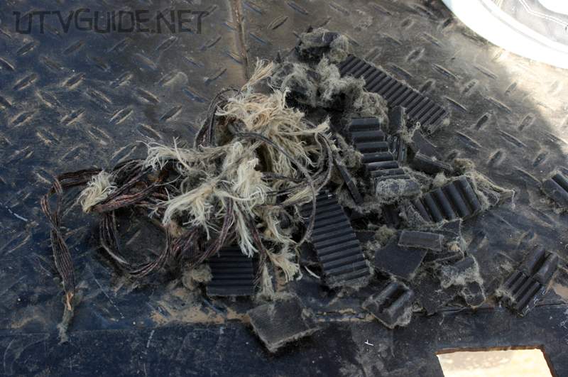
Every Rhino that had a belt failure was running with a CDI and a CVT air filter. There are a few theories to why the belts failed. Some thought the aftermarket CVT filters are not letting enough cool air in. Others thought the CDI which allows higher speeds was the cause. One thing is for sure – bring a spare and have the tools and knowledge to be able to change it. Here is a great video fromHunterWorks.com that showshow to change your CVT belt.
|


No Comments