| Trip Report
Alder Ridge Lookout – Eldorado Forest
November 2008
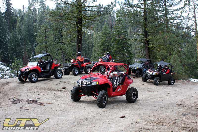
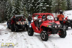
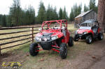
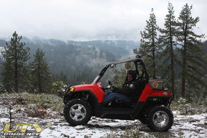
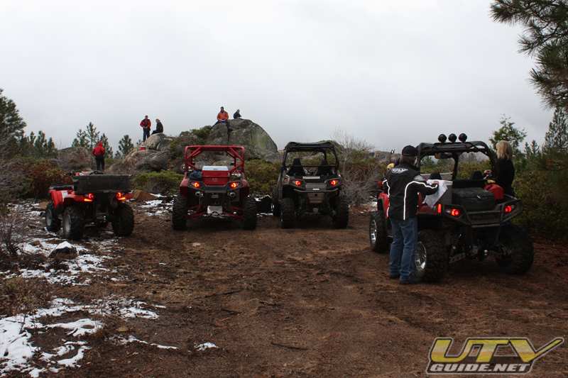
Our local Polaris dealer in Placerville, CA organizes rides once a month for ATVs & UTVs. Some neighbors of mine had been on a few of these rides and told me they were a great way to try new locations. The stars lined up for us in November, and we joined the group. On this ride, we had four Polaris RZRs and three Polaris ATVs.
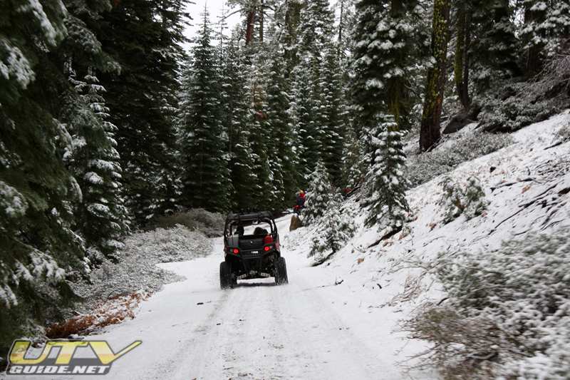
The plan was to ride up to Squaw Ridge near Silver Lake, but a storm the night before entered into the equation. As we headed up Mormon Emigrant Trail, we saw signs that the road was closed 23 miles ahead. Mormon Emigrant Trail isn’t plowed in the winter, so they must have received enough snow the night before to close the road. We tried anyways, but decided to turn around once snow covered the road. No use getting in an accident when we were just out to have some fun.
As luck would have it, there are a lot of OHV trails in the Eldorado Forest off of Mormon Emigrant Trail. I had brought a map of the area, and had been to Alder Ridge Lookout probably 15 or 20 years ago on ATVs. I knew that was a fun area, so we decided to give that a try.
We parked at Road 10N044 which is also known as Houtts Rd. (although we never saw any signs that said Houtts Rd.). We missed a turn, but kept going and eventually hit Mormon Emigrant Trail a few miles up the road from where we parked. Oops. It was fun to wander around, but I kind of wanted to get back to Alder Ridge Lookout after all these years.
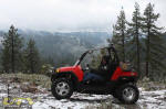
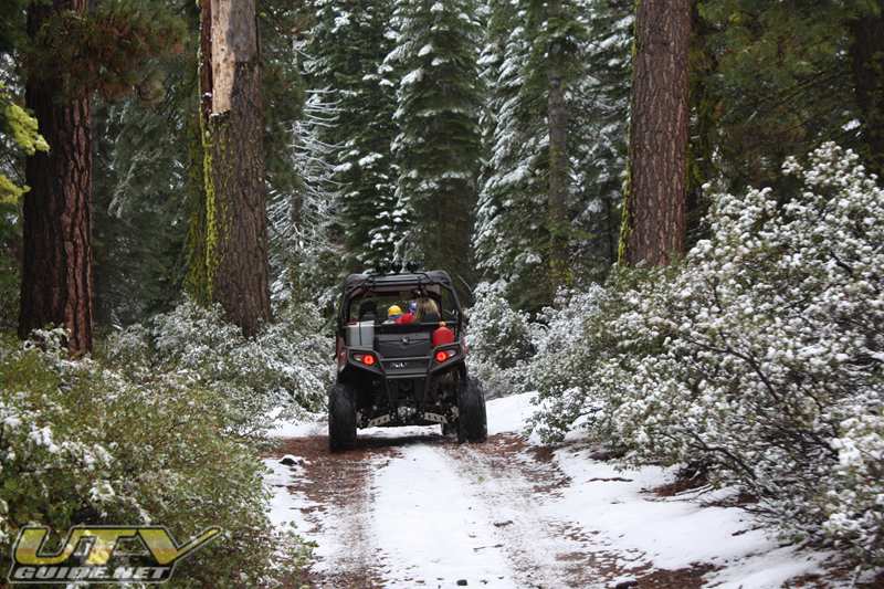
We got back on track and found our way up close to the lookout, but found a locked gate before reaching the top. I am not sure why vehicles aren’t allowed up at the lookout anymore, but you can hike the rest of the way up if you are so inclined.
We didn’t make the hike up to the lookout on this trip, but next trip we will for sure. The Alder Ridge Lookout tower was built by theCivilian Conservation Corps in 1936. Situated at 6,687 feet, the tower is ideally positioned to overlook a large area the South Fork of the American River.
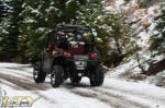  
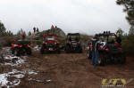
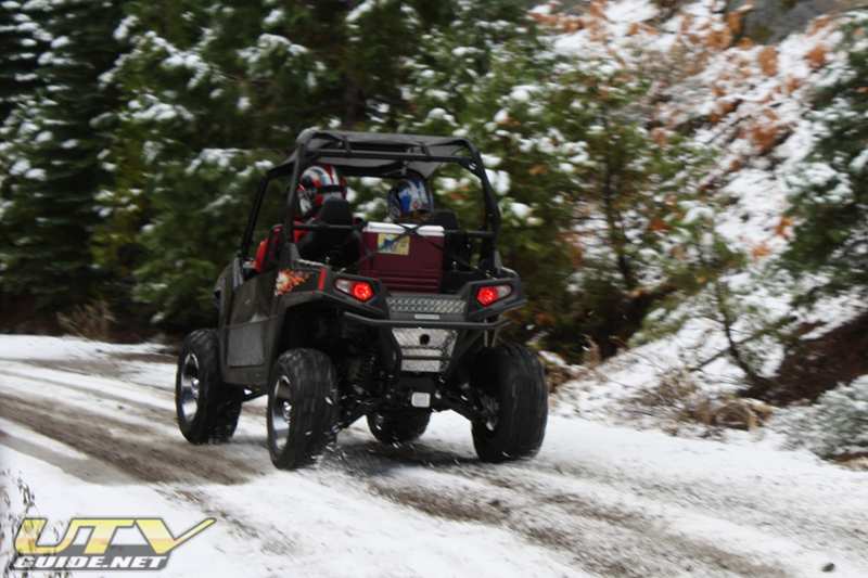
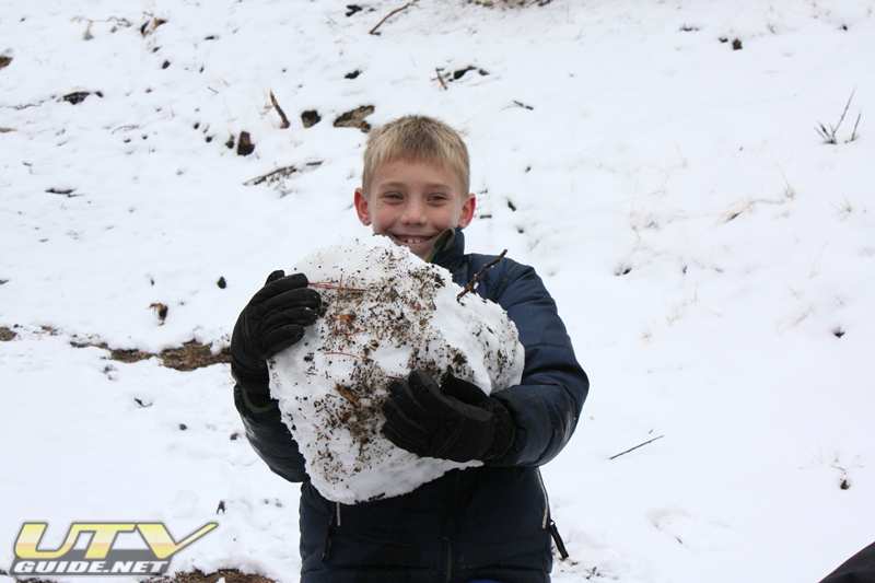
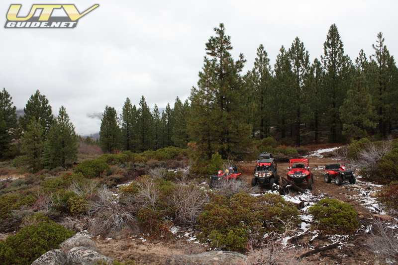
A few spots along the trail had full snow coverage. My son found enough snow to even make a snow man during one of the breaks.
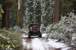  
Going down the wrong trail
 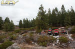
Lunch at the end of the trail by Alder Ridge Lookout
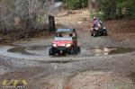 
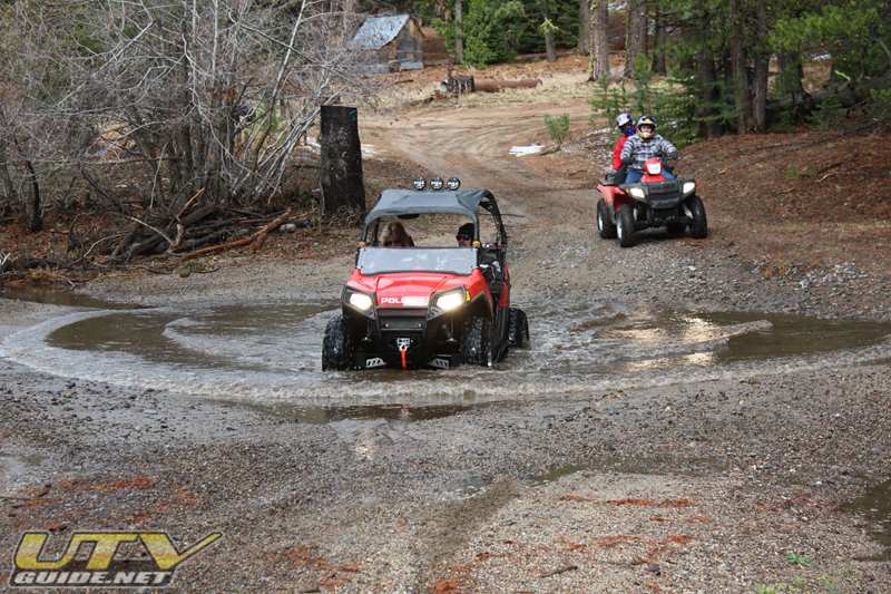
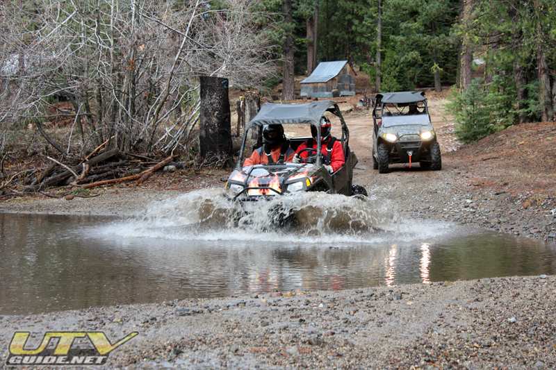
Crossing Alder Creek near Morrison
Morrison – In between Alder Ridge to the north and Iron Mountain Ridge to the south is a large meadow called Morrison. The area here is private property but forest road 11N46 passes through it.
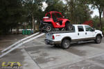  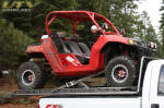
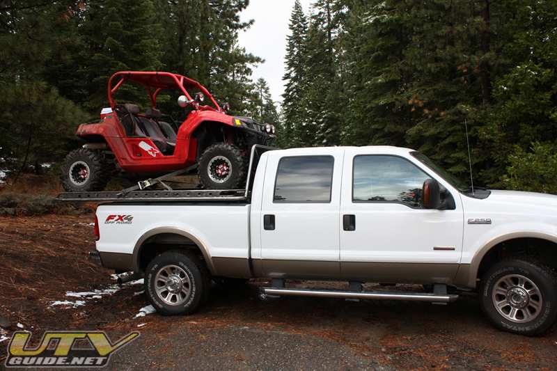
Our first trip with the new UTV Truck Rack was a success. Our long travel Polaris RZR seemed right at home on the back of the truck. We did get quite a few looks driving around.
Maps & GPS Coordinates:
-
Alder Ridge Lookout –Google Maps – 38° 44′ 39.01″ N, -120° 20′ 22.99″ W
-
Morrison –Google Maps – 38°42’33.31″N, 120°19’22.49″W
-
Leek Spring Hill – USGS 7.5 Map
Links:
|


No Comments