
Gaia GPS instantly turns any smartphone or tablet into a useful navigation device. Designed for hiking, hunting, and off-road explorations, Gaia is the app to plan, guide, and share your next outdoor journey.
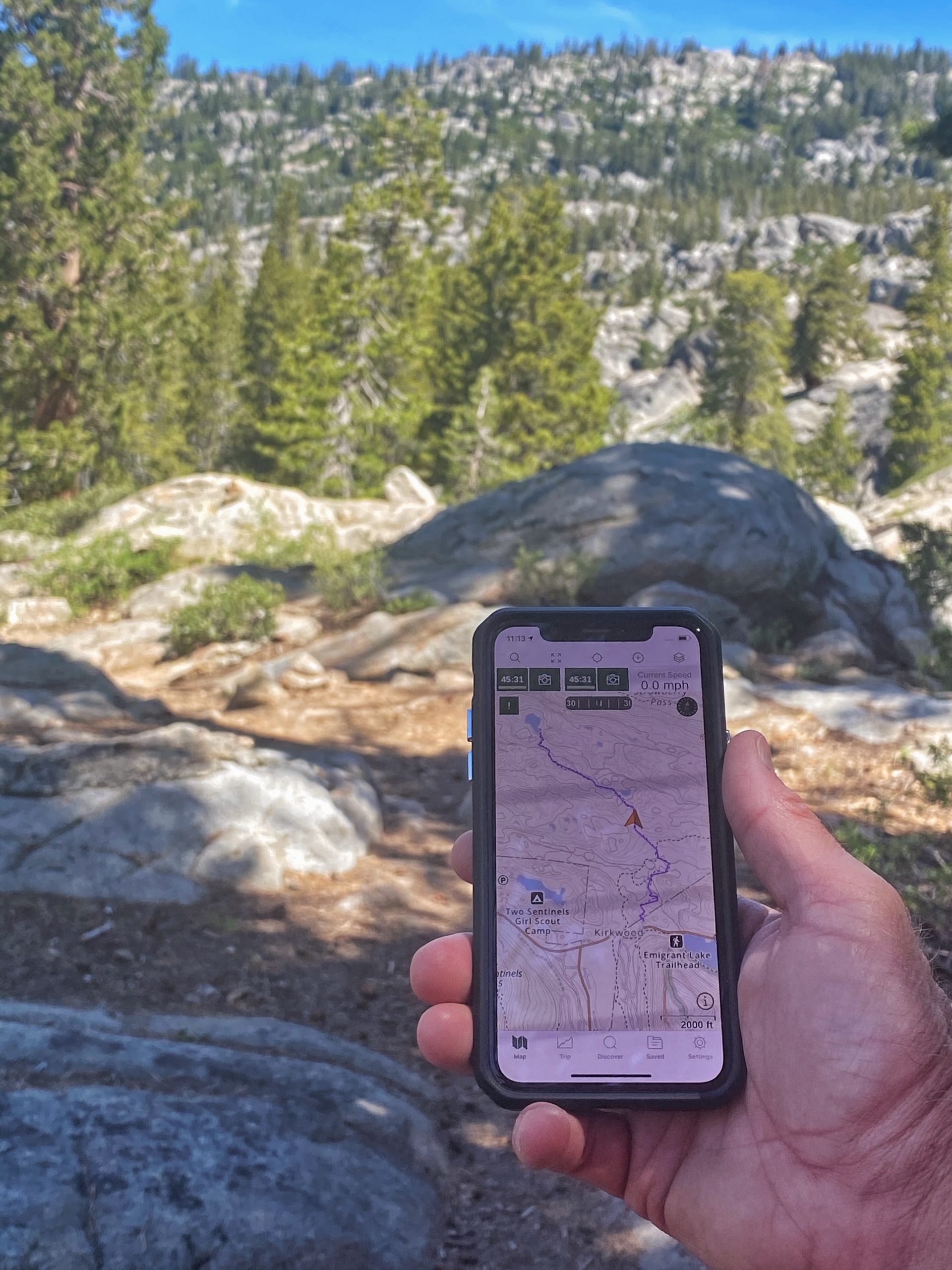
This information-dense app comes equipped with an impressive amount of features. It offers an extensive list of hiking trails to search through with the difficulty levels, popularity, distance, time, and ascent included.

Click the banner for UTVGuide membership discount
The Gaia map shows roads, OHV trails and hiking trails all in the same view, so you can use it for hiking one day and off-road the next. Or plan off-road adventures that get you to more remote hiking trails.
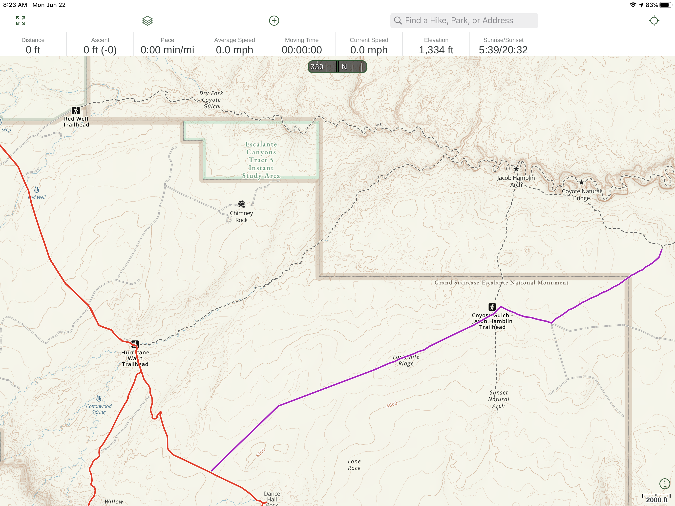
The Gaia Map shows off-road (double dashed line) and hiking (single dashed line) trails
It too can record, track, share, save, and add waypoints and photos to your trip. And yes, it also includes the time and distance of your trip. What sets it apart, other than the visual layout of course, is the technical details.
Route Planning
Since Gaia is cloud based, you can create a route on your computer and it will show up on your phone or tablet.
Premium Membership
If you find yourself wanting to make the most Gaia has to offer, you can purchase a Membership or unlock even more features with a Premium Membership. Membership will run you $20 per year and includes USGS topo, Mapbox Satellite, offline map downloads, map printing, NPS maps, and access to over 50 base maps worldwide.
Premium Membership costs $40 per year ($32 for UTV Guide Followers) and will give you access to 250 plus maps and overlays. This includes ESRI world imagery, National Geographic Trails Illustrated, Backroad Mapbooks Canada, NeoTreks US Topo, SwissTopo, and public and private land overlays. You’ll also have the ability to stack maps if you so choose.
Discounted Gaia Membership for UTV Guide Followers -> www.gaiagps.com/utvguide