
| Day Trip on the Rubicon Trail
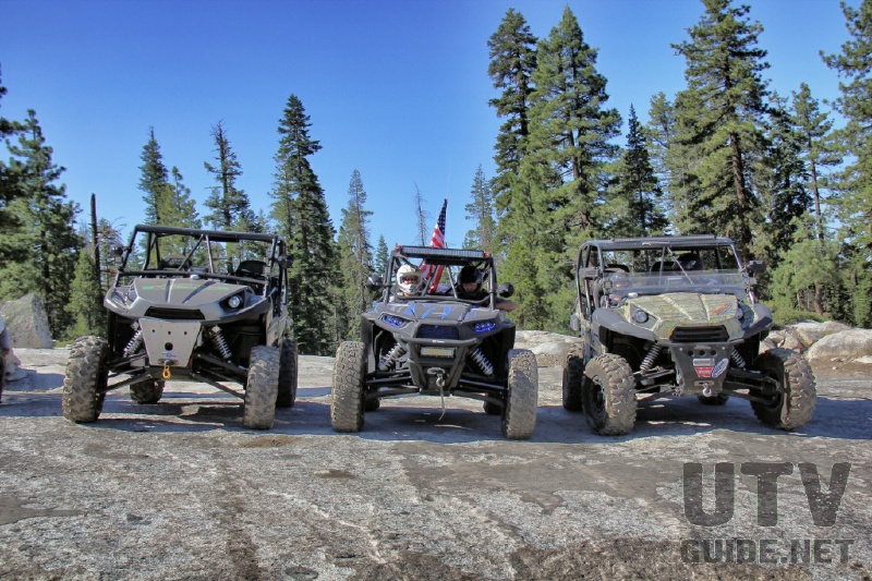
By Jon Crowley, UTVGuide.net The Rubicon Trail is located in the California High Sierra, due west of Lake Tahoe, approximately 80 miles east of Sacramento, and 35 miles east of Placerville. This world-renowned 4-wheel drive route leads from Georgetown (at California Highway 49) to Lake Tahoe (near Tahoma), a total distance of approximately 22 miles. The trail is a non-maintained County road located in El Dorado and Placer Counties. Parts of the trail pass through the Eldorado National Forest and portions of private lands. UTVs are allowed on this trail with a California OHV Green Sticker. Helmets are also required per California state law. Elevations run from approximately 5400 to over 7,000 feet (approximately 1,646 meters to over 2,134 meters). The section of road from Georgetown to Wentworth Springs (also known as the McKinney-Rubicon Springs Road) is a maintained road, while the off-highway vehicle (OHV) trail begins near Loon Lake. Most visitors begin the run from this mid-point, which is accessible off U.S. Highway 50. The portion of the trail from Loon Lake to Lake Tahoe is about 12 miles (19 kilometers) long and winds through the trees and rugged granite common to the area. The western end of the Rubicon Trail has two trailheads. The true trailhead is located at the Wentworth Springs campground, while the more popular trailhead is at Loon Lake. These trails converge at Ellis Creek, approximately one mile from the start of each course. We typically park at Loon Lake and head in, but the trail from Wentworth Springs is also fun.
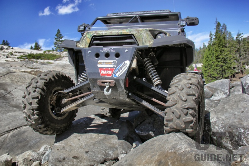
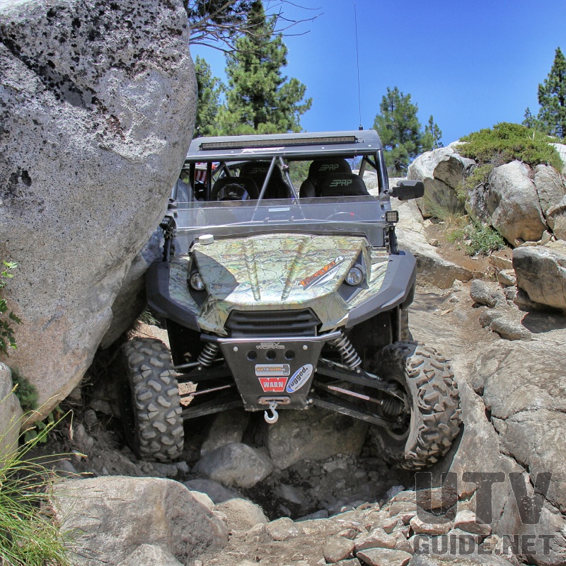
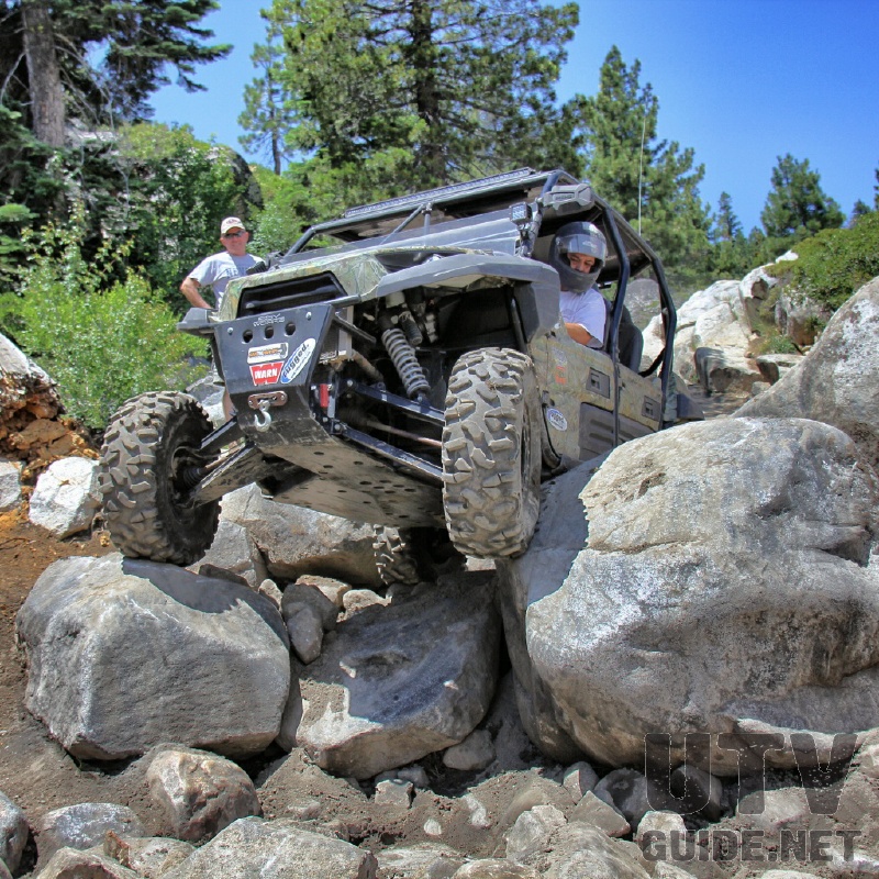
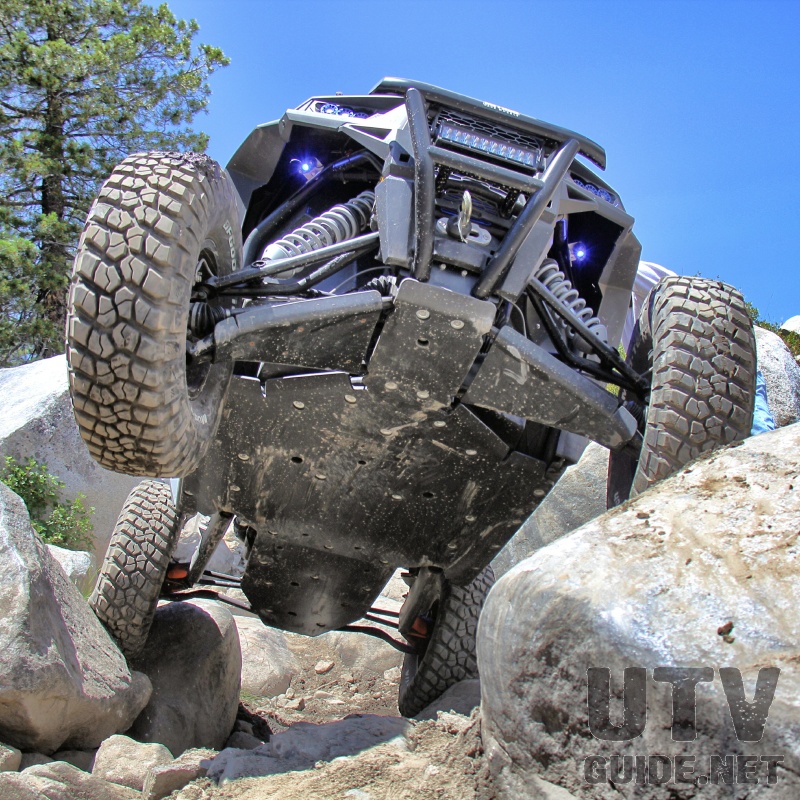
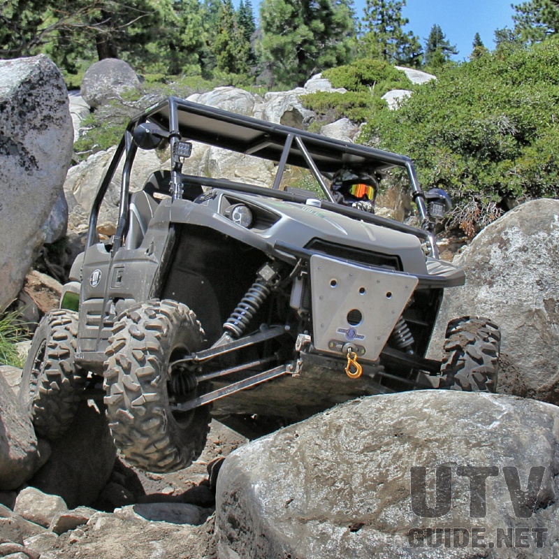
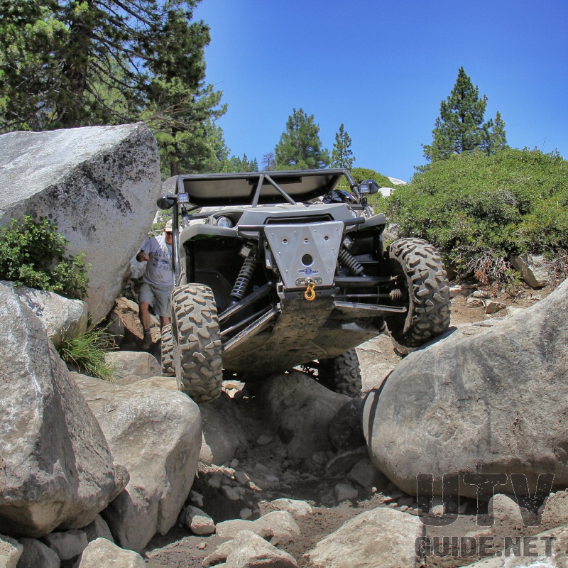
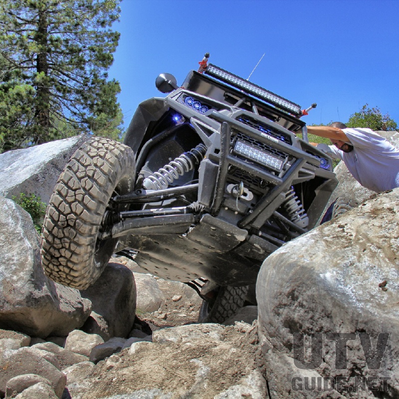
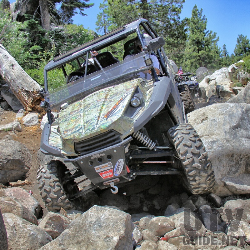
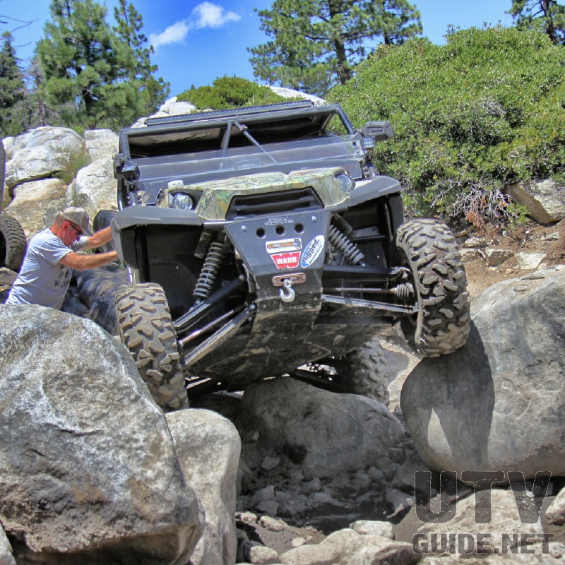
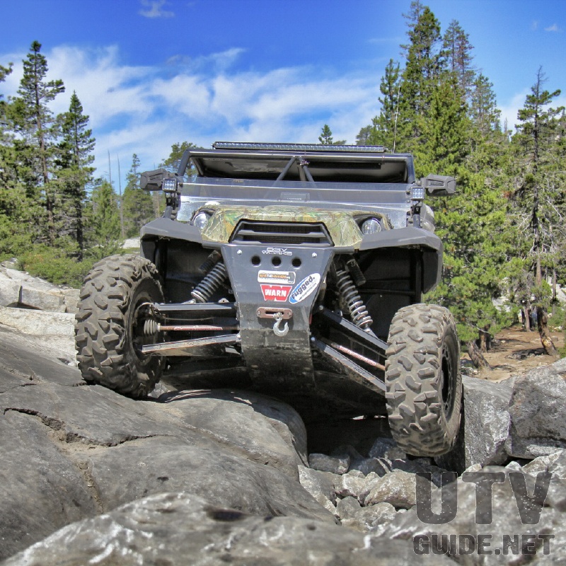
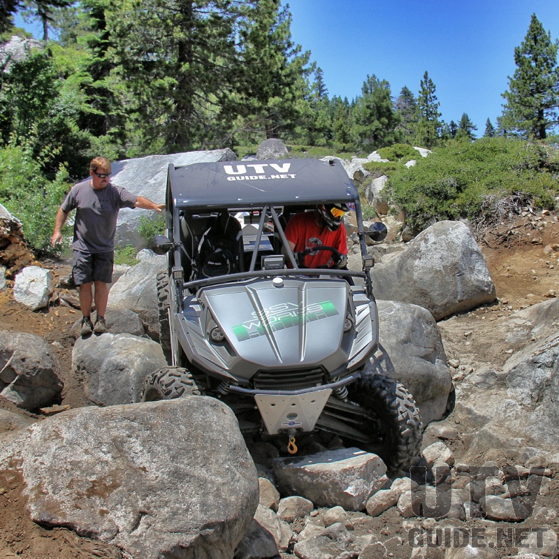
The Little Sluice is challenging and fun obstacle, but it has changed a lot over the last twenty years. Somewhere before 2000, a huge rock was moved into the trial and was considered by many as the most difficult part of the Rubicon Trail. Back about 5 years ago, El Dorado County blew up the rock and returned Little Sluice to more of its original form. The trail was pretty much impossible in a UTV before the rock was demolished, and now it is doable for sure. Little Sluice in our Teryx From the Little Sluice, the trail continues for approximately a mile to a granite shelf overlooking the Rubicon Valley and Buck Island Reservoir. At this point, the trail forks to the Granite Slab on the left (main trail) and the Old Sluice on the right. It had been years since I had been through Old Sluice, so we thought that we’d give it a try going downhill. It is a good thing we did, because we would have been pulling winch line to make it in the uphill direction.
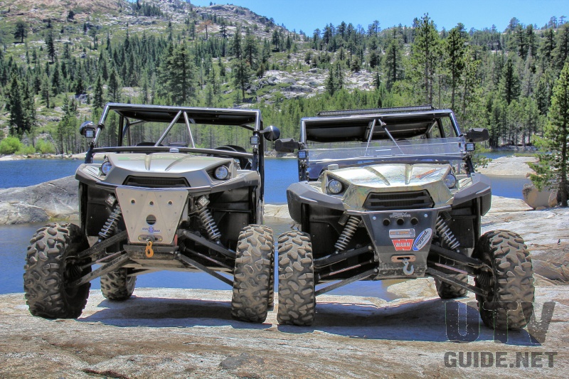
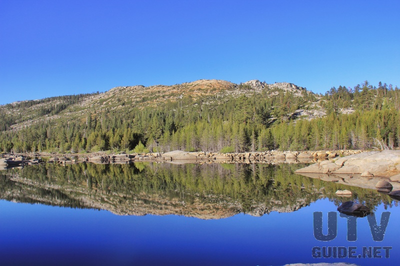
We had lunch at Buck Island Reservoir, then headed back to Loon Lake. Buck Island Reservoir is a popular camping location on the Rubicon Trail. If you look around the lake, you can find where water exits and heads to Loon Lake by way of the Buck-Loon Tunnel.
More: |
No Comments